DEList a propertyFind a property
Shortlist

Living · On foot

Walk the place before you sign.

Curated walks through real Vienna living. A neighbourhood only reveals itself on foot: where you slow down, where daily life feels natural, which street you would walk every day.

Others show you a map. We walk it with you: every stretch backed by real data, with the actual homes along the way.
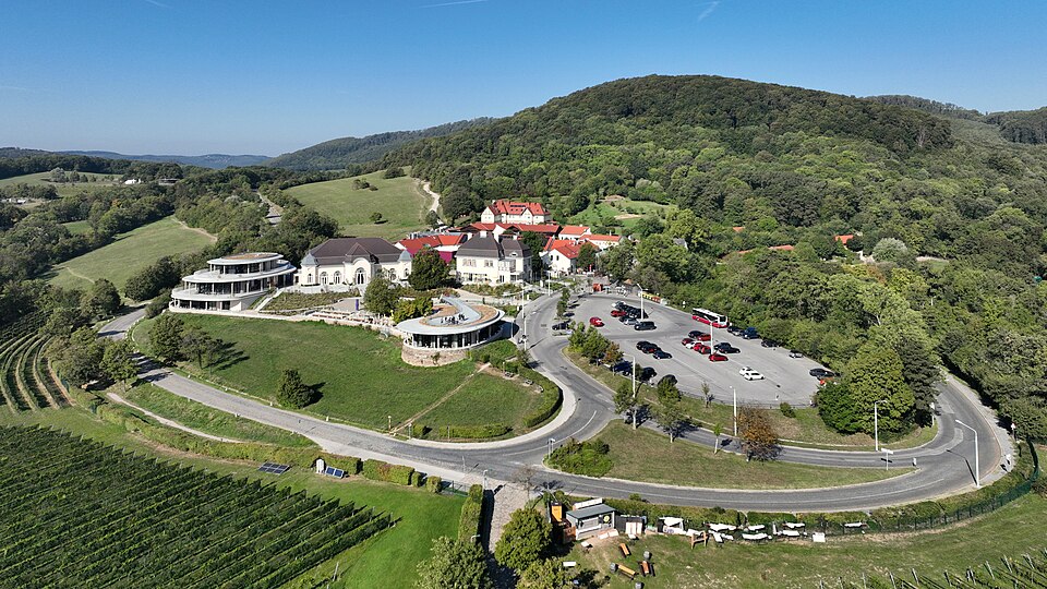
Döbling Cobenzl, Wien
C.Stadler/Bwag · CC BY-SA 4.0
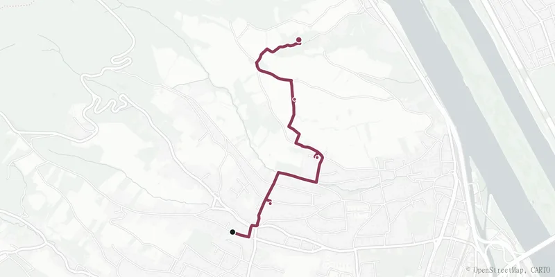
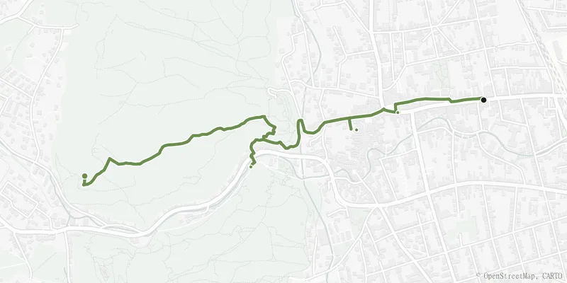
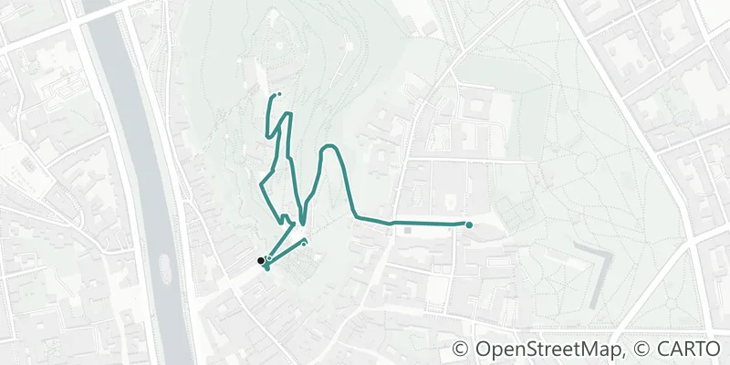
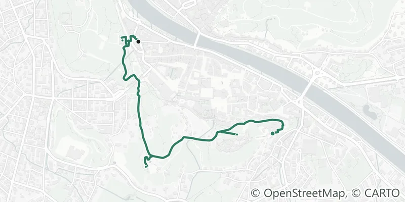
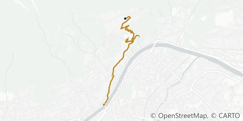
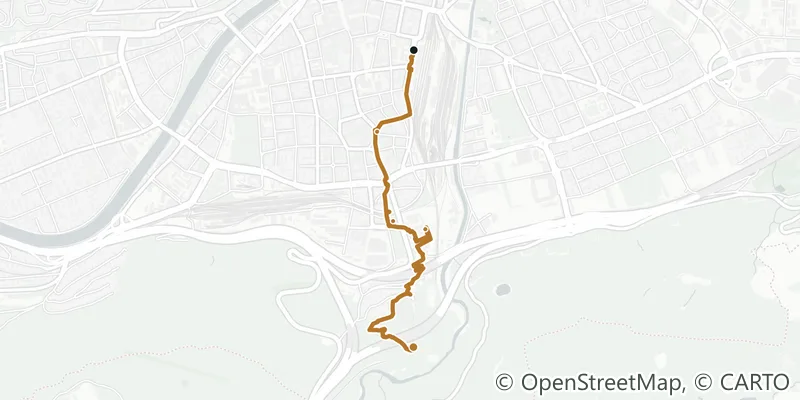
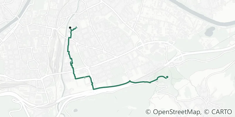
Route map of the walk Through the vineyards of the NussbergWine
Through the vineyards of the Nussberg
Vine rows, Heurigen and the view over the Danube.
3.5 km44 min4,400–5,000 steps149 m
Döbling
What you testHow close to the Vienna Woods can you live without leaving the city behind?
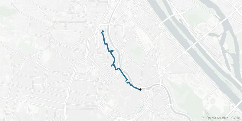
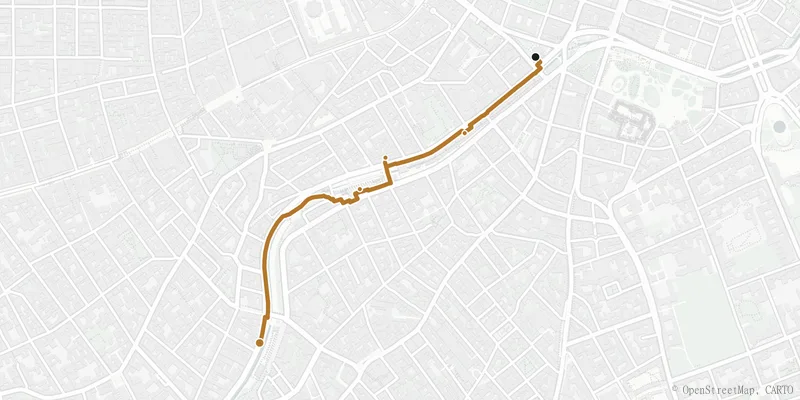
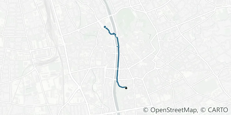
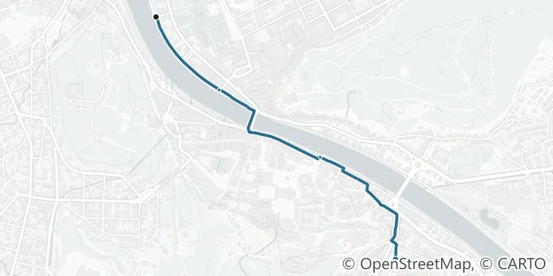
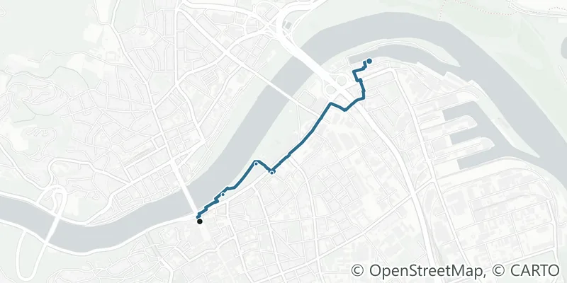
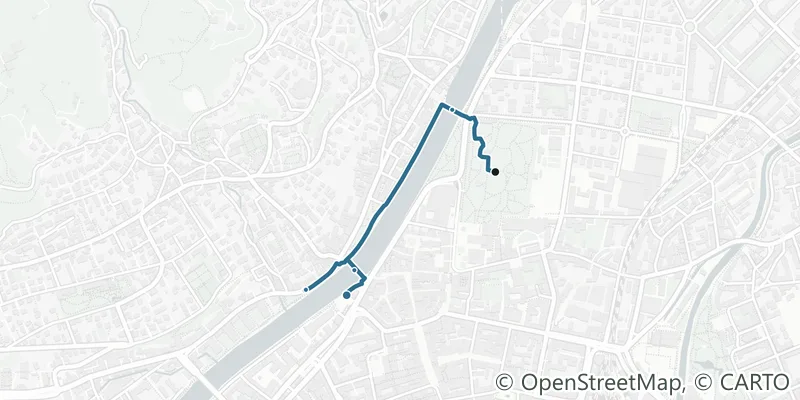
Route map of the walk Along the Donaukanal, from the buzz into calmWater
Along the Donaukanal, from the buzz into calm
Water, canal-side cafés and the city seen from below.
4.0 km50 min5,000–5,700 steps
Innere StadtAlsergrund
What you testWhat is living right by the water in the middle of the city really like?
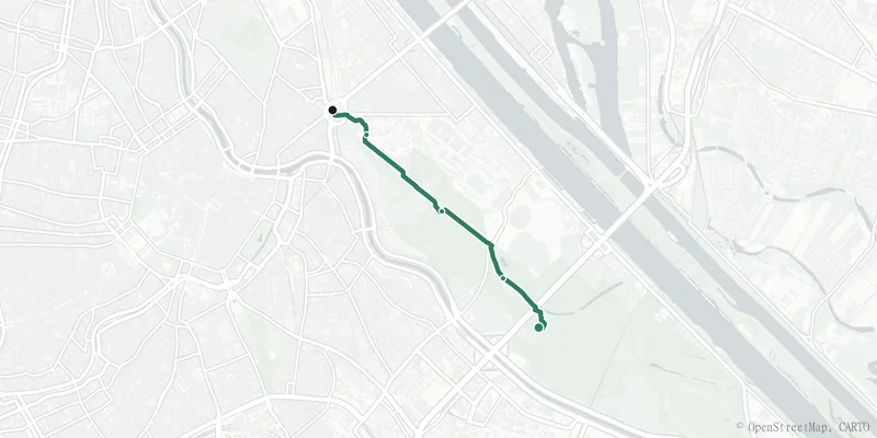
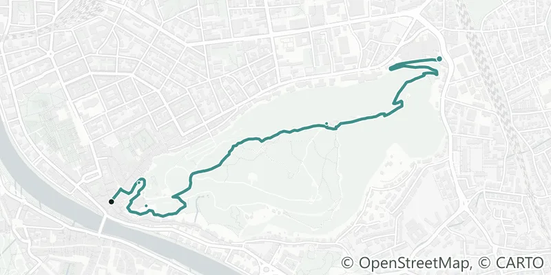
Route map of the walk The green Hauptallee in the PraterGreen
The green Hauptallee in the Prater
Four kilometres of chestnut trees, no cars, room to breathe.
4.0 km50 min5,000–5,700 steps
Leopoldstadt
What you testHow much real green is at your door, not just on paper?
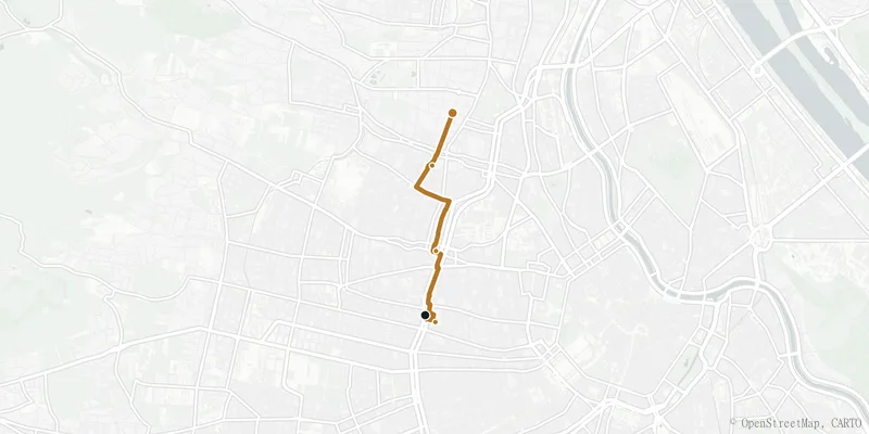
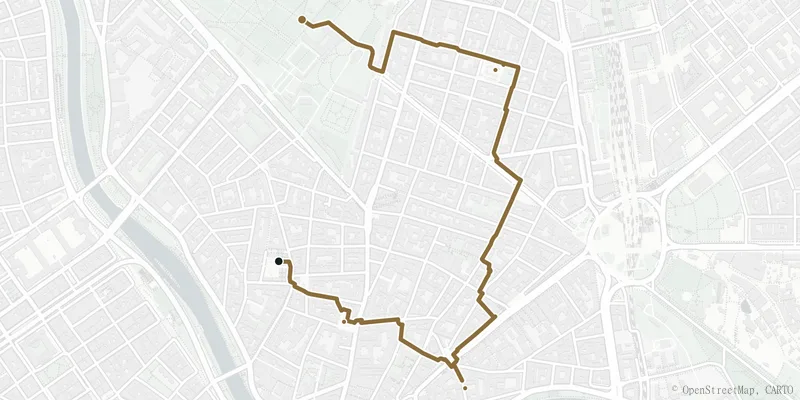
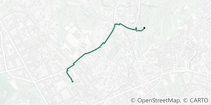
Route map of the walk From market to market, through Ottakring into WähringEveryday
From market to market, through Ottakring into Währing
Market stalls, neighbourhood life and the shift street by street.
3.3 km41 min4,100–4,700 steps30 m
JosefstadtHernalsWähring
What you testWhat does the daily shop actually look like here?
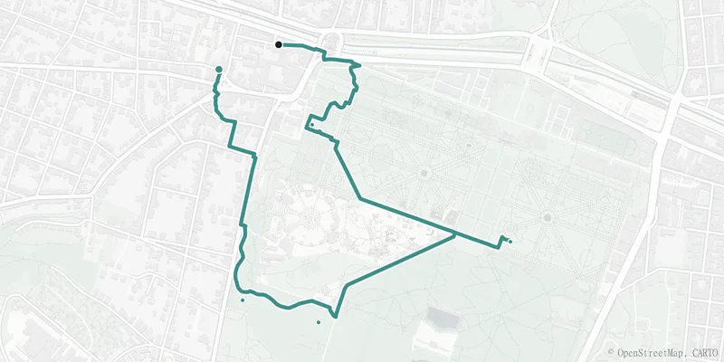
Route map of the walk Cool avenues: through Schönbrunn to old HietzingCool
Cool avenues: through Schönbrunn to old Hietzing
Old trees, shaded axes and a village core in the elegant 13th.
3.8 km48 min4,700–5,400 steps44 m
Hietzing
What you testWhere does it stay bearable in summer when the city bakes?
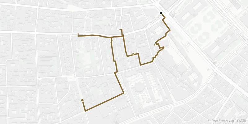
Route map of the walk The Biedermeier lanes of the SpittelbergAtmosphere
The Biedermeier lanes of the Spittelberg
Cobblestones, no traffic, houses from another era.
1.8 km22 min2,200–2,500 steps
Neubau
What you testHow quiet can living get in the middle of the 7th district?
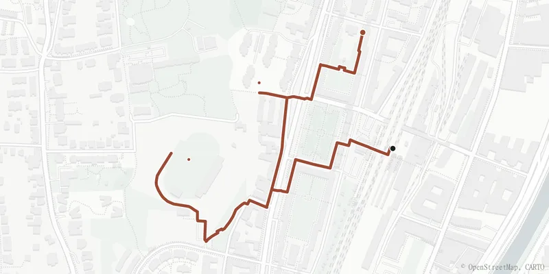
Route map of the walk The Karl-Marx-Hof and green HeiligenstadtPublic housing
The Karl-Marx-Hof and green Heiligenstadt
Red Vienna, wide courtyards and the park on the slope.
2.2 km27 min2,700–3,100 steps
Döbling
What you testWhat is it like to live in the legendary public housing, and what surrounds it?
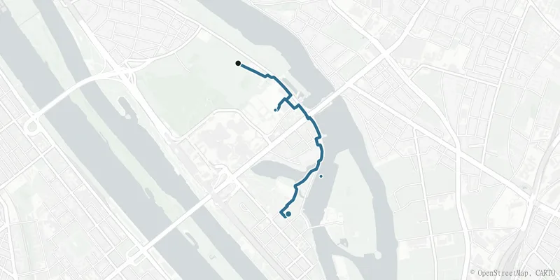
Route map of the walk Around the Alte DonauWater
Around the Alte Donau
Bathing spots, boats and open sky by the water.
2.5 km31 min3,100–3,600 steps
Donaustadt
What you testWhat is it like to live with a lido on your doorstep?
Route map of the walk Around the lake of the SeestadtNew quarter
Around the lake of the Seestadt
A new city by the water, wide paths, big sky.
3.4 km43 min4,300–4,900 steps
Donaustadt
What you testWhat is it like to live in a district that did not exist ten years ago?
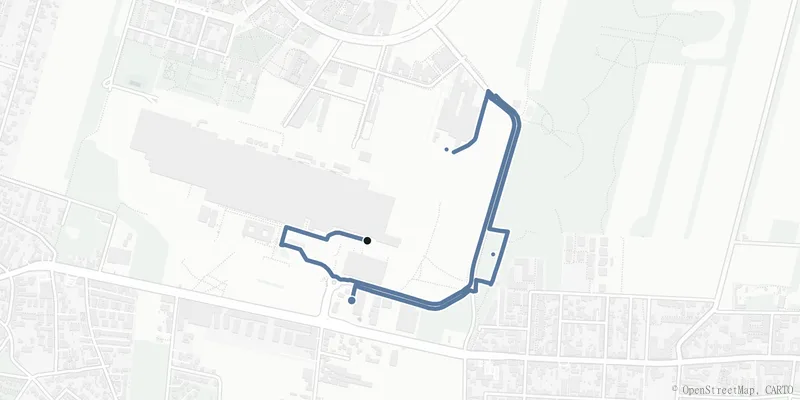
Route map of the walk Mödling: old town and the edge of the Vienna WoodsAround Vienna
Mödling: old town and the edge of the Vienna Woods
Narrow lanes, a stream, and the forest right behind.
2.9 km37 min3,700–4,200 steps145 m
MödlingMaria Enzersdorf
What you testHow close is the Vienna Woods when you move to the outskirts?
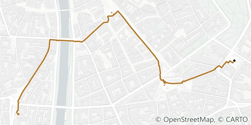
Route map of the walk Across the Naschmarkt and the WienzeileEveryday
Across the Naschmarkt and the Wienzeile
Market stalls, Art Nouveau façades and life between four districts.
1.6 km20 min2,000–2,300 steps
Innere StadtMariahilfMargareten
What you testWhat is it like to live in the middle of Vienna’s liveliest market?
Route map of the walk Around the KarmelitermarktAtmosphere
Around the Karmelitermarkt
Cafés, corner shops and the new life of the Leopoldstadt.
3.0 km38 min3,800–4,300 steps
Leopoldstadt
What you testHow does a neighbourhood feel while it is coming into bloom?
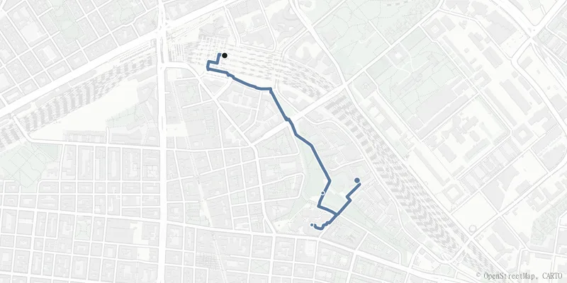
Route map of the walk The Sonnwendviertel by the main stationNew quarter
The Sonnwendviertel by the main station
A new city quarter on the old rail yards, right in the centre.
1.7 km21 min2,100–2,400 steps
Favoriten
What you testCan new-build housing be central and affordable at once?
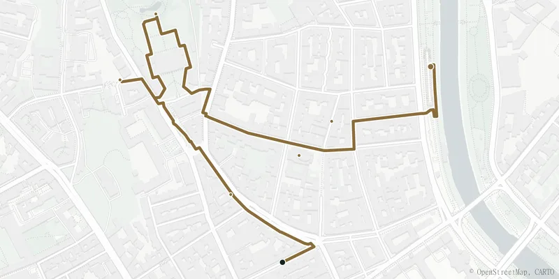
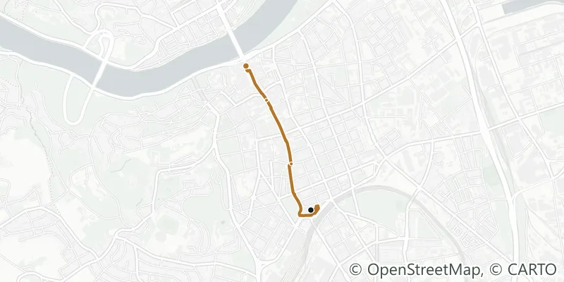
Route map of the walk The Servitenviertel and the StrudlhofstiegeAtmosphere
The Servitenviertel and the Strudlhofstiege
Quiet lanes, an Art Nouveau stairway and Freud’s Berggasse.
2.2 km27 min2,700–3,100 steps
Alsergrund
What you testCan inner-city and quiet go together?
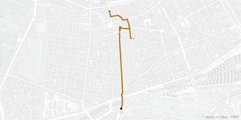
Route map of the walk The Meidlinger HauptstraßeEveryday
The Meidlinger Hauptstraße
A pedestrian zone, a market and affordable neighbourhood life in the south.
1.7 km21 min2,100–2,400 steps
Meidling
What you testHow much neighbourhood do you get for your money a little further out?
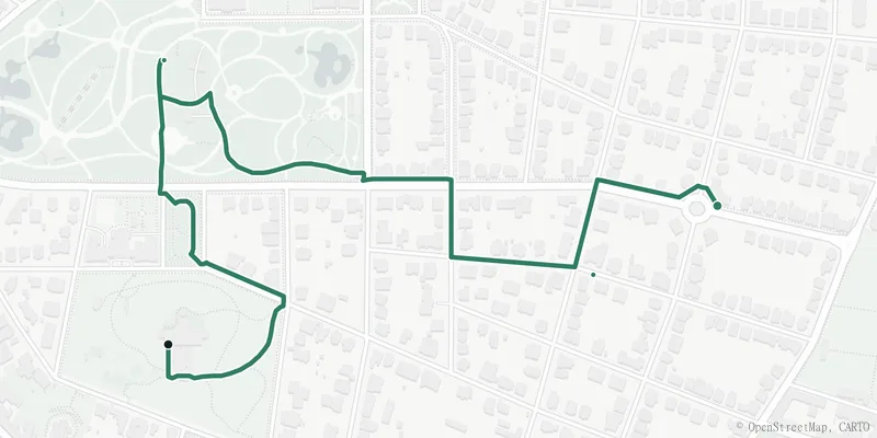
Route map of the walk Through the Cottage quarterGreen
Through the Cottage quarter
Villas, old gardens and two parks between Währing and Döbling.
2.0 km25 min2,400–2,800 steps
WähringDöbling
What you testHow green and quiet does Vienna get before the city ends?

How it works

Choose

What do you want to understand?

Green, water, everyday buzz: each walk asks a different housing question.

Walk

What changes on the way?

Notice the pace, the closeness, the transitions from street to street.

Compare

What do the data say?

Every walk carries a data profile: trees, quiet, footfall, transit, measured cell by cell. Feeling and figures together.

About the walks

What is a Wohnprobe (housing test walk)?

A short, curated route that lets you experience a Vienna location on foot before you decide to live there: with the data that a listing never shows.

How are the routes measured?

Each walk is routed on the real OpenStreetMap pedestrian network (footpaths, park lanes, riverside promenades), so distance, walking time and steps are the real ones, not a straight-line estimate.

Where does the data profile come from?

The same official sources as the rest of wohnwahn: the Vienna tree register, the official heat map, the environmental noise map, footfall and our own transit routing, sampled every 100 metres along the walk. Parks and water have no residential data of their own, so those stretches read the nearest neighbourhood.

Ready to look for real?

Pick a walk, or jump straight into the search and tap any address to see trees, noise, heat and travel times before the viewing.

Route geometry routed on the OpenStreetMap pedestrian network (© OpenStreetMap contributors, ODbL). Data profile from wohnwahn: Vienna tree register, official heat map, environmental noise map, footfall and own transit routing. A data-based housing test on foot, not tourism.