The street matters more than the district
A leafy avenue and a treeless canyon can sit in the same district. Check the map above for the exact address: every wohnwahn listing shows the street trees around it.
Living · Topic
Vienna is greenest in Leopoldstadt, Hietzing and Döbling.
“Green” is easy to claim. wohnwahn measures it: the proximity to real green spaces, parks, woods and meadows, for every inhabited 250 m cell. On top of that the official tree cadastre: in the greenest district there are 207 street trees within 300 m of the typical home.
And the district average deceives: large outer districts look green because woods, fields and floodplains at the edge lift the percentage, exactly where almost no one lives. wohnwahn measures the green at your home, not at the district’s rim.
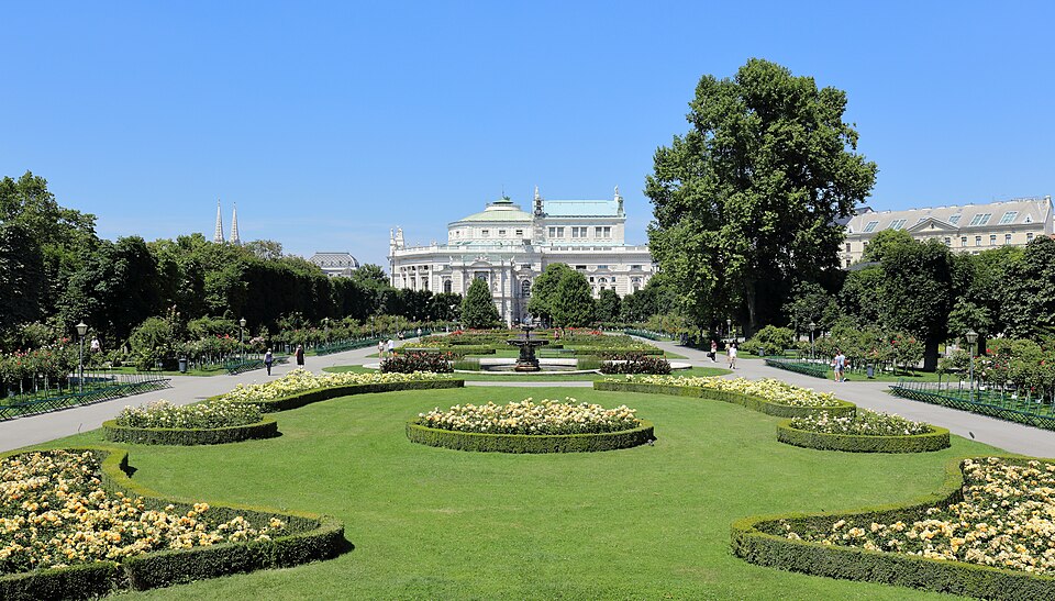
Ranked by the median green-space proximity of inhabited residential cells, so the green that people actually live next to. Linked: the full district profile in the atlas.
Green-space proximity (parks, woods, meadows) per 250 m cell, from OpenStreetMap · as of: September 2026
Method: proximity to real green spaces (parks, woods, meadows from OpenStreetMap) per inhabited 250 m cell, bigger and closer green weighs more, clipped to the real district boundary. Deliberately NOT the district green-area percentage that the usual rankings use: that figure is inflated by woods, fields and floodplain at the unbuilt edge and says nothing about where people live. The number next to each district is the median street-tree count as extra context. Prices: asking prices per m² (condos), immopreise.at / derStandard-Preisspiegel, as of Dezember 2025.
Currently 1,963 listings sit on wohnwahn in a genuinely green spot, greenest first. Measure: tree register, street trees within 300 m. Each card shows the value at its address, and the “Lots of green” filter in the search decides by the same measure.
 775 trees1180 WähringStunning bel étage with south terrace and unique period building flair!€ 1,085,000 · 4 rm · 160.5 m²
 662 trees1180 WähringExclusive penthouse with panoramic views over Vienna€ 2,659,000 · 5 rm · 151 m²
 437 trees1220 DonaustadtDC2 Tower - Above the Rooftops of Vienna – Stylish Studio with East Panorama€ 1,150/month · 1 rm · 34.2 m²
 437 trees1220 Donaustadt47th Floor with 38sqm Loggia: DC2 Tower: 3 Rooms with Skyline View€ 2,800/month · 3 rm · 80.9 m²
 437 trees1220 DonaustadtDC2 Tower: Sky Residences - 32nd Floor with 10sqm Loggia First Occupancy€ 1,100/month · 1 rm · 32.1 m²
 1350 trees1180 WähringFamily-friendly cottage villa in an exquisite location!€ 6,900,000 · 10 rm · 400 m²
 1119 trees1190 DöblingA Viennese Masterpiece – Historic Cottage Villa with Contemporary Luxury€ 1,750,000 · 4 rm · 133.9 m²
 500 trees1220 Donaustadt31st Floor: First Occupancy and No Agent Fee - Kissed by the Sun! U1 Kagran€ 475,000 · 2 rm · 46.8 m²
 500 trees1220 DonaustadtLiving like in a 5-Star Resort – Luxury Apartment with Infinity Pool, Sauna & Fitness€ 2,294/month · 2 rm · 56 m²
 467 trees1130 HietzingExclusive Hietzing Villa Area: Viennese Period Apartment with 2 Balconies and Garden Use€ 1,290,000 · 4 rm · 149.3 m²
 726 trees1190 DöblingRepresentative villa floor. Türkenschanzcottage!€ 3,200/month · 3 rm · 145 m²
Showing 12 of 1,963See all matching listings →
Dark green means a lot of park, woodland or meadow nearby. Every square is an inhabited 250 m cell with its green-space proximity score (bigger and closer green counts more).
Only inhabited cells are coloured. This measures proximity to green spaces per home; the street trees at each address are shown on the listing pages. Tap the map for the green score at that exact spot.
Green usually means the edge of town. These districts prove you can have both: a high green score AND within 25 minutes of Stephansplatz by transit.
A leafy avenue and a treeless canyon can sit in the same district. Check the map above for the exact address: every wohnwahn listing shows the street trees around it.
Street trees measurably cool their surroundings in summer. If you care about heat, green and cool go together, the cool-living page maps the heat load next to the green.
The cadastre counts public street trees. A quiet green courtyard is a bonus the number can’t see, worth asking the provider which way the flat faces.
A home at the edge of the Prater or Lainzer Tiergarten is greener than its street-tree count suggests. Use the “What’s here?” click on the search map to see parks and water around an address.
By green-space proximity it is Leopoldstadt (1020): the typical home there scores 85/100 for nearby parks, woods and meadows, ahead of Hietzing and Döbling. Source: OpenStreetMap green spaces, evaluated per 250 m cell.
The usual district rankings use the green-area percentage, and there large outer districts score high because a third of their area is floodplain (Lobau), farmland and unbuilt land at the edge, where almost no one lives. That number says nothing about the green next to your home. wohnwahn instead measures the green space within walking distance of each inhabited spot, so a densely built block in a “green” district shows up honestly as what it is.
The ranking is built on real green spaces, parks, woods and meadows within walking distance, which is what most people mean by “living green”. In addition, every listing shows the public street trees around the exact address from the City of Vienna tree register, as a second, concrete signal.
Brigittenau for example: a high green score and still ≈ 14 minutes from Stephansplatz by transit. Green and central is rarer than green-and-far, but the data shows where the combination exists.
Yes, measurably: trees provide shade and evaporative cooling and improve air and well-being. That’s why wohnwahn shows the trees around every address and why green overlaps with the cool-living ranking.
Green spaces from OpenStreetMap, street trees from the City of Vienna tree register, evaluated per inhabited 250 m cell, refreshed monthly (as of September 2026).
More honest data on where to live well in Vienna and the surrounding area.
This topic inGrazSalzburgLinzSt. PöltenInnsbruckBregenzKlagenfurtEisenstadt
On foot
A curated walk makes this tangible on foot, every stretch backed by real data.
Use the “lots of green” filter, tap any address on the map, and see the trees, water, heat and travel times before the viewing. Free and independent.
How wohnwahn rates locations →Green keeps it cooler: cool living in Vienna →Quiet living →Commuting to Vienna →Affordable living →Living by the water →Family-friendly →Near the metro →Wine & Heuriger →Sunny living →
Sources: green spaces: OpenStreetMap · City of Vienna tree register · transit: own routing on the Wiener Linien and ÖBB timetables · prices: immopreise.at / derStandard-Preisspiegel. Refreshed monthly.