Living · On foot
The official city hiking trails of Vienna and Linz, walked with data.
Vienna maintains 14 marked hiking trails inside the city limits, Linz nine: from the vineyards of the Kahlenberg to the Pöstlingberg above the Danube. The routes here are the official, signposted ones, unchanged.
What we add is what the cities do not publish: elevation profiles, calculated walking times, how to get there by transit, and what living along each trail is like.
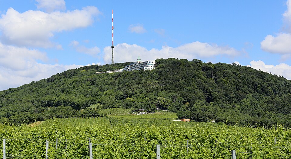
The 14 Wien city hiking trails
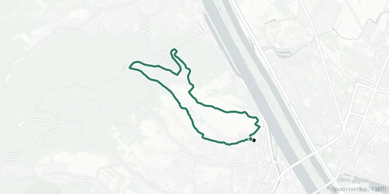 Trail 1
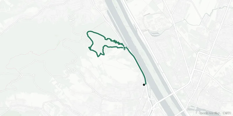 Trail 1a
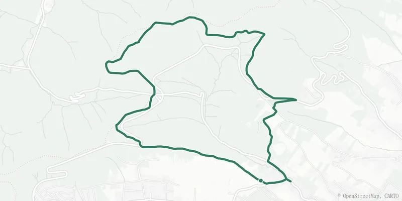 Trail 2
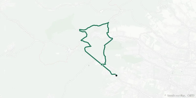 Trail 3
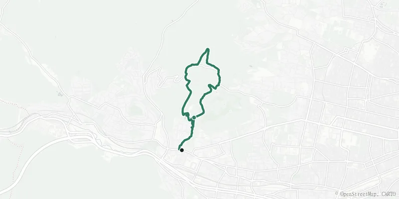 Trail 4
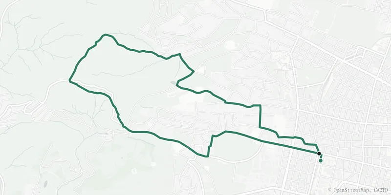 Trail 4a
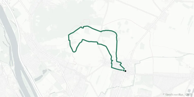 Trail 5
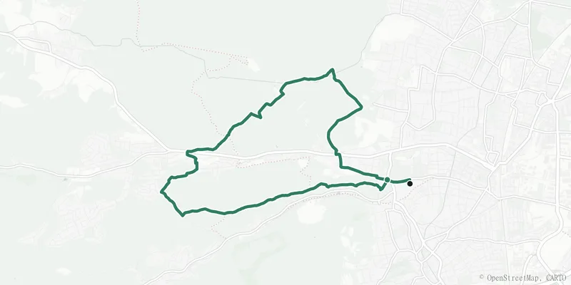 Trail 6
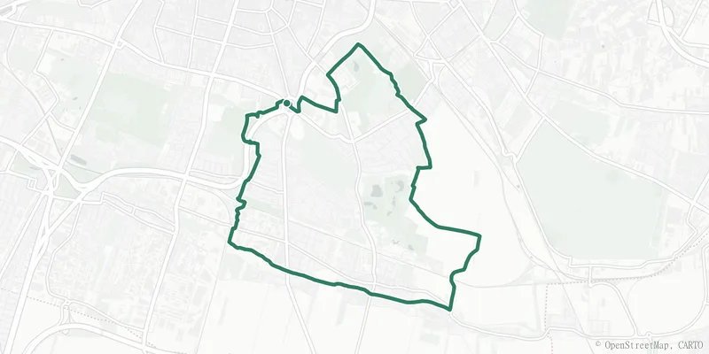 Trail 7
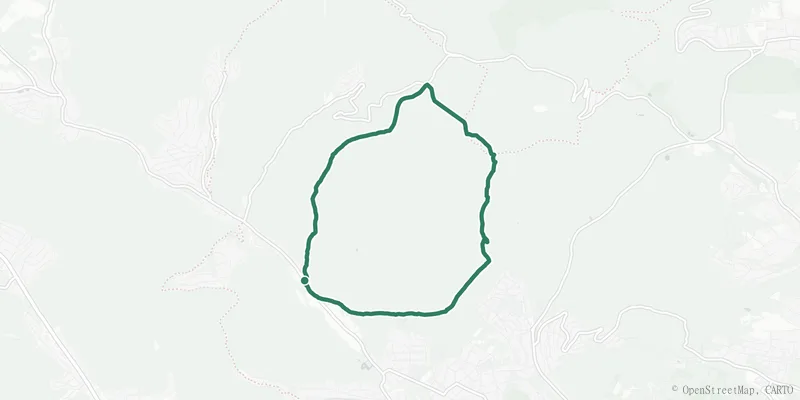 Trail 8
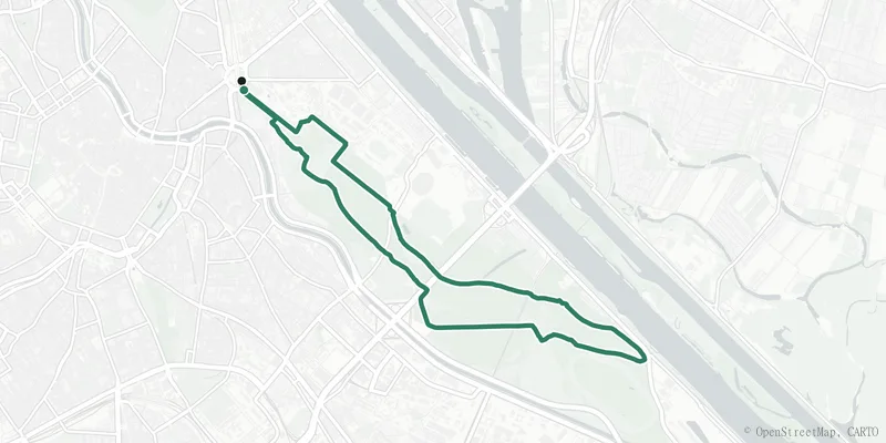 Trail 9
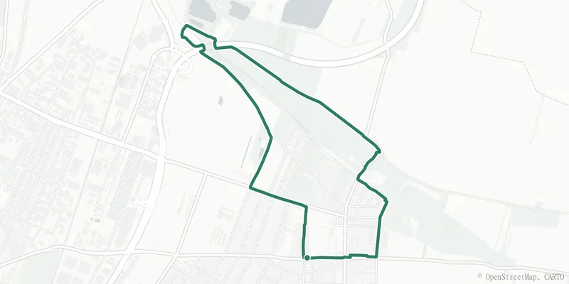 Trail 10
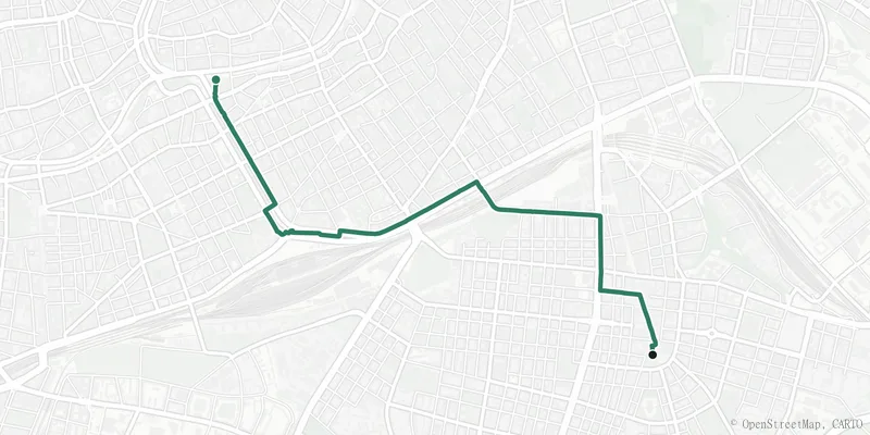 Trail 11
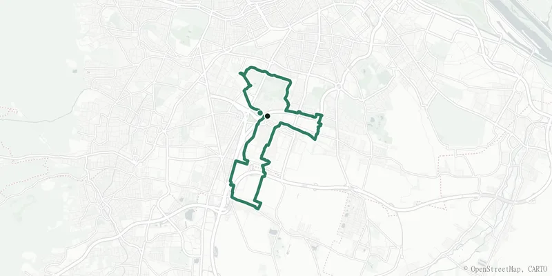 Trail 12
The 9 Linz city hiking trails
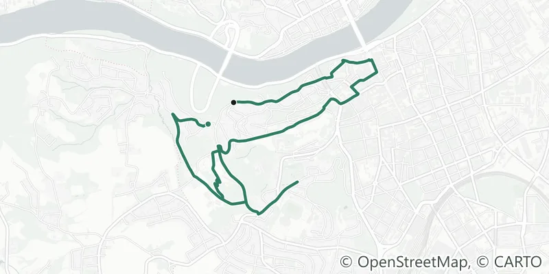 Trail 1
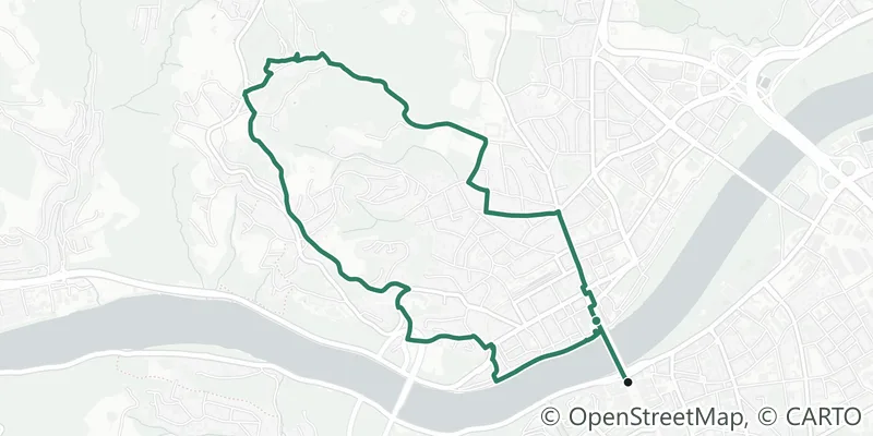 Trail 2
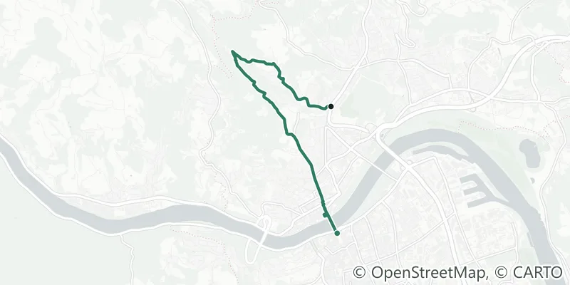 Trail 3
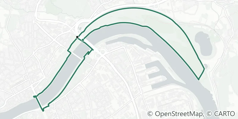 Trail 4
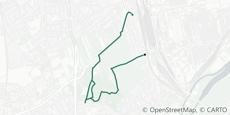 Trail 5
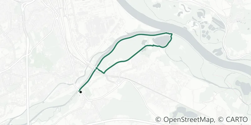 Trail 6
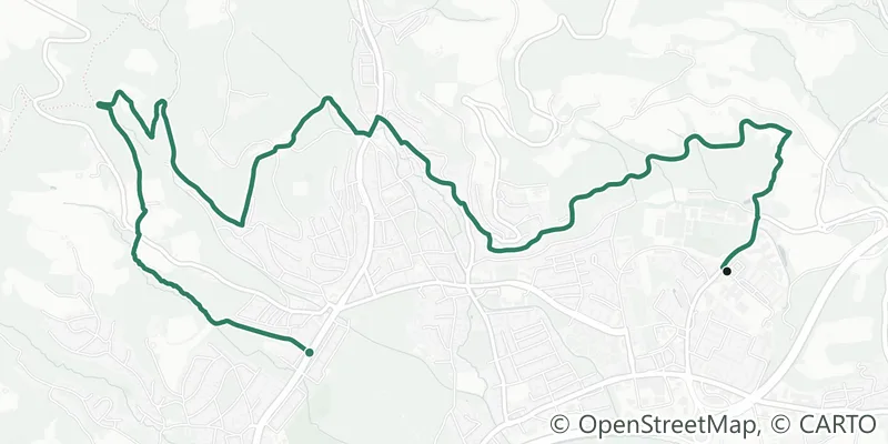 Trail 7
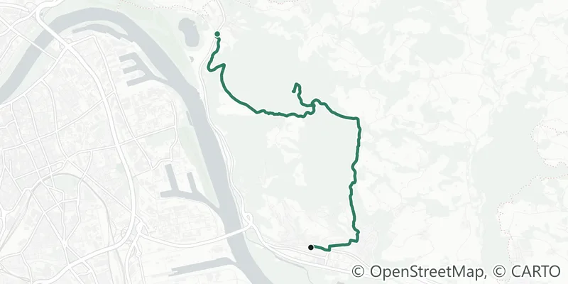 Trail 8
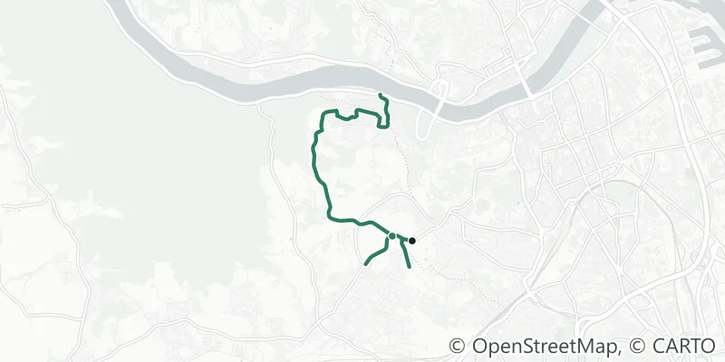 Trail 9
Why hiking trails on a housing site?
Recreation from your front door
A marked trail within walking distance changes how a place lives. These pages show which neighbourhoods have one.
Elevation, not just kilometres
An 11 km trail with 300 m of climbing is a different afternoon than a flat loop. We measure both, from open elevation data.
Transit to every trailhead
Each trail lists the best stop for getting there, picked from the real timetables, plus the way back on one-way routes.
About the trails
Are these the official routes?
Yes. In Vienna the geometry comes from the city’s open-data trail register (CC BY 4.0), unchanged: we only joined the published segments. Linz publishes no open route dataset, so there we follow the OpenStreetMap mapping of the signposted series (ODbL), walked through in one go, including the marked side spurs. Waymarks on the ground follow the same lines.
Where do the walking times come from?
Neither city publishes times in its data, so we calculate them with the standard hiking formula: 4 km/h on the flat plus one hour per 300 metres of climbing. The elevation itself is sampled every 25 m from open terrain data.
Which trail is the easiest, which the hardest?
In Vienna, the Prater loop (trail 9) and the Breitenlee loop (trail 10) are almost completely flat, the longest is the Wienerberg loop (trail 12) at about 19 km, and the biggest climbs are on trails 1, 1a, 2 and 6 with roughly 300 m of ascent or more. In Linz, the Wasserwald loop (trail 5) is the level family round, while the Pöstlingberg (trail 2) and Pfenningberg (trail 8) trails carry the real climbs.
A trail on your doorstep?
Search homes along any of these routes, or start with the shorter neighbourhood walks: every stretch backed by real data.
Search properties →The neighbourhood walks →Explore the atlas →
Routes Vienna: City of Vienna, data.gv.at (WANDERWEGEOGD, CC BY 4.0), unchanged; segments joined. Routes Linz: signposted city trail series as mapped in OpenStreetMap (© OpenStreetMap contributors, ODbL), walked through including marked spurs. Preview maps © OpenStreetMap contributors, © CARTO. Elevation from open terrain data; walking times calculated (standard hiking formula), not official figures.