3D map by Google
The 3D view is served by Google. Loading it transmits your IP address and technical data about your device to Google.
Your choice applies to this visit. Privacy policy
Vienna from above
Vienna from above
The city as it looks: real facades, real roofs, real trees. Seven places, one flight. Swipe through the stops and the camera flies there, or type your own address.
Continue on foot
Three of our curated walks, each routed on the real footpath network and measured against our data. See the route from the air on the walk page, then walk it in real life.
- Cool
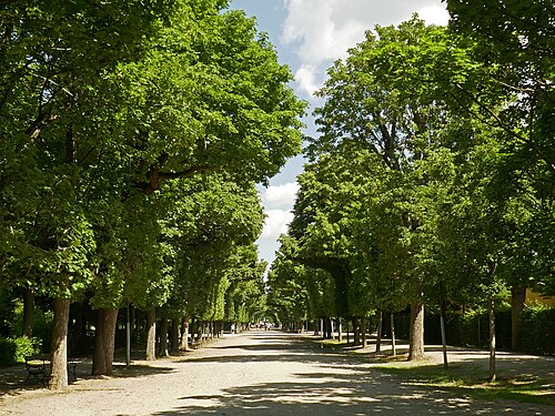
Cool avenues: through Schönbrunn to old Hietzing
Old trees, shaded axes and a village core in the elegant 13th.
To the walk → - Wine
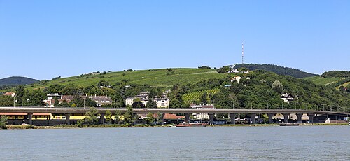
Through the vineyards of the Nussberg
Vine rows, Heurigen and the view over the Danube.
To the walk → - Water
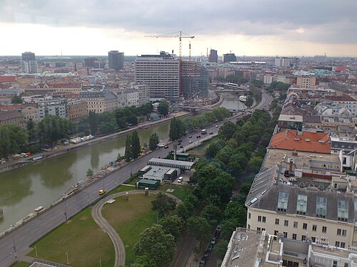
Along the Donaukanal, from the buzz into calm
Water, canal-side cafés and the city seen from below.
To the walk →
What you are looking at
This is Google’s photorealistic 3D model, built from aerial flights. It shows Vienna as photographed: facades, roofs, courtyards, trees, even parked cars. Newer quarters appear as soon as Google flies again.
It is a picture, not a data model. Heights, sunshine hours, noise levels or flood risk are not in it. For those we built our own 3D map from official data: it knows every building height, every cadastral tree and the street lights at night.
Open our 3D search map →Questions
How current is the image?
Google flies its cities every few years. Buildings finished since the last flight are missing or unfinished in the model. Our own map uses the city’s official building model, updated with each data refresh.
Can I see my own building?
Yes, if it existed at the time of the flight. Type your address below the map and the camera flies there; then tilt the view with two fingers or the right mouse button and turn around it.
Why is this not in the search?
Google allows its 3D model only inside a Google map. Our search map runs on our own engine with official data, so both live side by side: this page for the look, the search for the facts.
What does it cost?
Nothing. The page loads Google’s map with our key; the imagery belongs to Google and its data partners, credited in the map.