Grätzl · Vienna
Thurygrund: living in Alsergrund, Vienna
Part of Alsergrund
Thurygrund is a neighbourhood in the 9th district (Alsergrund), about 2 km north-west of the centre. By public transport you reach Stephansplatz in about 13 minutes. About 251 street trees stand within 300 m of the centre of the neighbourhood: plenty of local cooling on hot days. Recent sales in the Alsergrund district came to €6,361/m², over all building ages.
Tap any point on the map to see every value for exactly that spot: transit, green, noise, heat and more.
History & character
From Suburb to Urban Neighborhood
Thurygrund, also known as Thury or Thuryvorstadt, was an independent municipality until 1850 and has developed over the centuries into a district in the 9th district of Vienna, Alsergrund. The settlement of the area dates back to the time of the Crusades when a hospitium for strangers was founded. The name St. Johann an der Siechenals refers to a hospital established in 1179. During the first Turkish siege of Vienna, the church and the hospital of Siechenals were destroyed. Johann Thury, a brick manufacturer, built the first building in this area in 1646 after a long period of uninhabitation. In honor of Thury, the emerging suburb was named after him. While the southern part of Thurygrund was already settled in the early 18th century, the northern part remained characterized by brickworks for a long time. Today, Thurygrund is a quiet neighborhood with a distinct identity, where the Canisius Church, consecrated in 1903, shapes the cityscape.
Access · travel time
Where can you get from here, by which mode, to which destination? The map colours every location in the district by real travel time (dark = fast).
Real travel time per inhabited location (250 m grid, clipped to the real district boundary) to destinations in Vienna. Transit from the schedule router (Day = peak, Late = after 11pm), bike/walk/car over the street network (car computed without traffic, so rush hour takes correspondingly longer).
Leisure & culture
What makes the area lively: culture, green space, nightlife and sport.
- Museums & galleries
Alseum, Geldmuseum, Josephinum, Museum der Johann Strauss Dynastie, Schubert Geburtshaus, Sigmund Freud Museum · and 12 more
- Theatres
Schauspielhaus Wien, Schuberttheater, Theater am Alsergrund, Volksoper, Bronski & Grünberg, Studio Molière · and 2 more
- Cinemas
Votivkino
- Stages & clubs
WUK, all in, CellaVie Aviation Club, Club 1019, Das Werk, Fotogalerie Wien im WUK · and 4 more
- Libraries
C3 - Centrum für Internationale Entwicklung, Österreichische Zentralbibliothek für Physik & F, Bezirksbibliothek, Bibliothek der Gesellschaft der Ärzte in Wien, Fachbereichsbibliothek Afrikawissenschaften und , Fachbereichsbibliothek Anglistik und Amerikanist · and 20 more
- Parks & green
Arne-Karlsson-Park, Sigmund-Freud-Park, Diana-Budisavljević-Park, Erwin Ringel-Park, Gabriele-Possanner-Park, Garnisonshof · and 22 more
- Sports
Challenge yourself, chladek.tanzraum, CircleGym, evo, Fitcom Gym, FITINN · and 24 more
- Markets
Bau-Portal-Gläser, Servitenmarkt
Publicly accessible culture and leisure venues within the district boundary, better-known first.
Climate & environment
On hot summer days, local cooling matters. With ≈251 trees per spot: plenty of local cooling on hot days.
Public street and park trees from the City of Vienna tree register around the neighbourhood centre. Private gardens are not included.
Light & shadow
Check the light anywhere. Type an address or click the map, pick a floor and drag through the day. The buildings cast their real shadows. Pan the map to explore.
Loading buildings …
| Floor | Summer | Winter |
|---|
Real building heights (official Vienna building model, computed from the BEV laser scan in the surroundings), sun hours and shadows from sun position and geometry. How much of it reaches you also depends on orientation and windows. Terrain is included, from the official elevation model out to 12 km: a mountain to the south takes the winter sun just as the house opposite does. Where the sun only grazes a ridge, the figure remains an approximation. In Vienna the terrain rarely matters: ten minutes in the Innere Stadt, and just as little at the Döbling vineyards, where the slope lies to the north-west and never touches the southern sun. It only tells in the Wienerwald valleys, at Kalksburg a good two hours on 21 December.
What does living here cost?
Asking prices (not land-register), orientation, not a valuation of a specific flat. Source: immopreise.at / derStandard-Preisspiegel · December 2025. Prices actually paid, per political district. Source: STATISTIK AUSTRIA, Immobilien-Durchschnittspreise 2025. All districts compared →
Living & commercial
6 BuyPeriod charm - first occupancy! 3 beautiful rooms and terrace in 1090 Vienna!
 BuyApproved raw attic with garage option
 Buy2-room dream apartment in top location, 200m to Akh
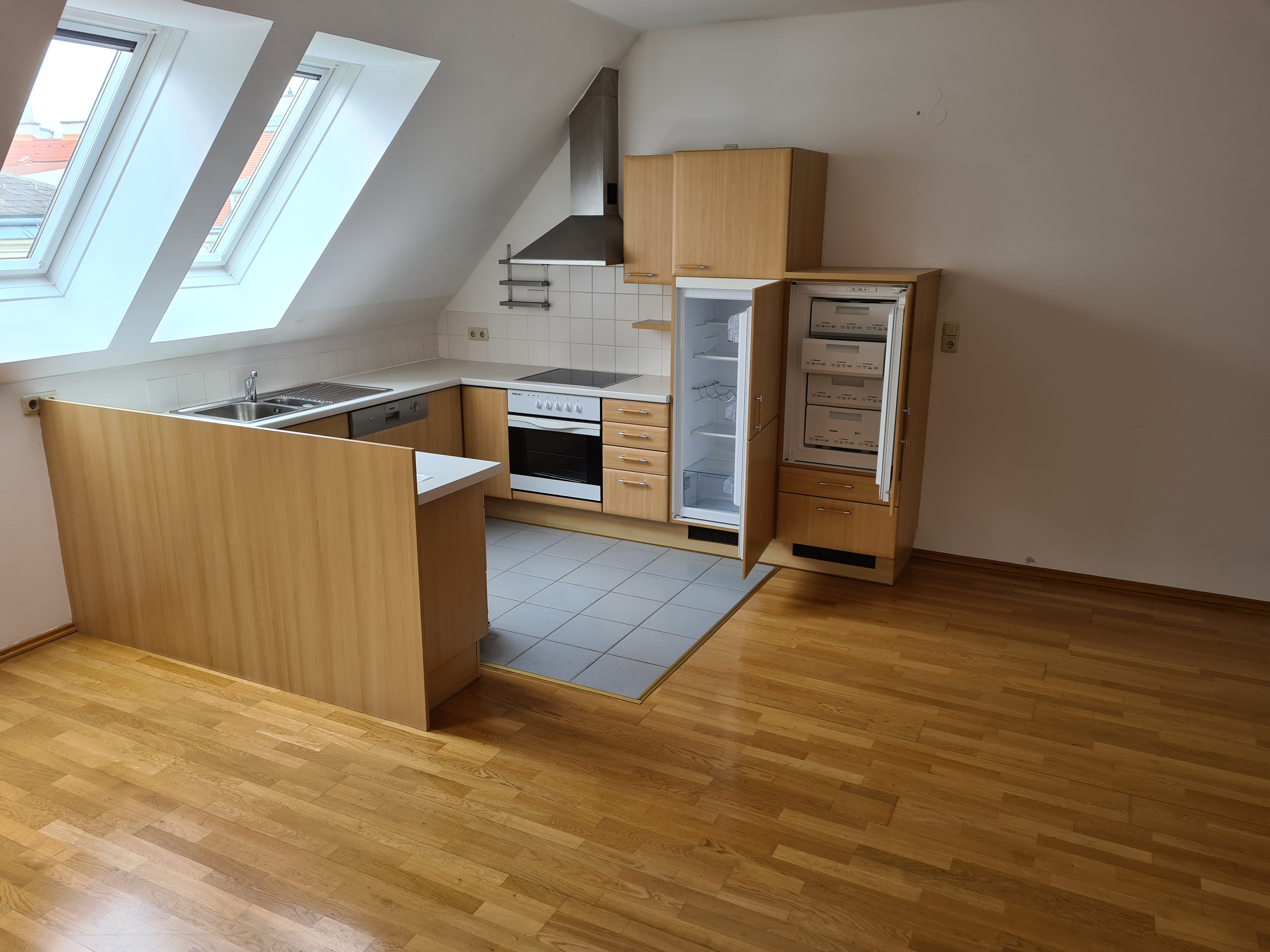 BuyExclusive penthouse with 360° panoramic view over Vienna and the Vienna Woods
 CommercialTemporarily Rented | Virtual Reality Escape Room | 1090 Vienna
 BuyCourtyard location in the Servitenviertel, renovation-required 3 rooms, approx. 68.47 m²
On foot
Walks through this area
Experience the neighbourhood on foot before you decide, backed by real data.
Explore & more
Frequently asked questions
Where can I find flats and commercial space in Thurygrund?
You can browse available homes and commercial spaces in Thurygrund in the wohnwahn search, each honestly rated for location, climate, greenery and commute.